Mussoorie: The Queen of the Hills
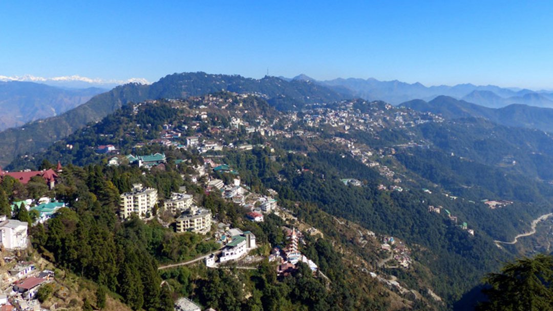
Perched at an average altitude of 2,005 meters (6,578 feet) in the Garhwal Himalayan range, Mussoorie stands as a crowning jewel of Uttarakhand. Known affectionately as the “Queen of the Hills,” it offers a majestic view of the Shivalik ranges to the south and the snow-capped Himalayas to the north.
The Mussoorie Dehradun Development Authority (MDDA) is committed to preserving the colonial charm and ecological integrity of this hill station while fostering sustainable urban growth.

A Glimpse into History
Mussoorie was “discovered” in 1823 by Captain Young, a British military officer, and Mr. Shore, the Superintendent of Revenues at Dehradun. Unlike many other hill stations, Mussoorie was never an official “summer capital,” which allowed it to develop a more relaxed, social, and rebellious character. It has long been a sanctuary for writers, artists, and those seeking a respite from the plains.
Geographic and Natural Splendor
Mussoorie is characterized by its lush green hills and varied flora and fauna. The town is a gateway to the “Gangotri” and “Yamunotri” shrines and serves as a vital ecological zone for the state.
-
Climate: Temperate and pleasant summers; snowy, picturesque winters.
-
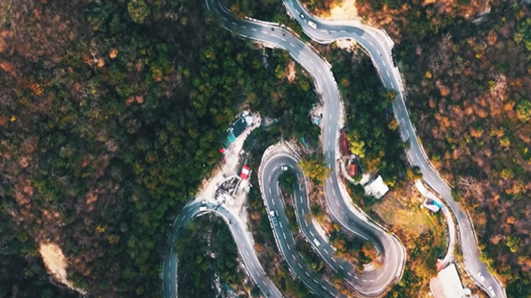
Topography: Steep ridges interconnected by the famous 15 km Camel’s Back Road.
-
Biodiversity: Home to dense oak and deodar forests, providing a natural carbon sink for the region.
Major Attractions & Landmarks
Mussoorie offers a blend of nature, heritage, and modern leisure:
| Landmark | Description |
| The Mall Road | The heart of the town, featuring colonial architecture, shops, and cafes. |
| Gun Hill | The second-highest peak in Mussoorie, accessible by a scenic ropeway. |
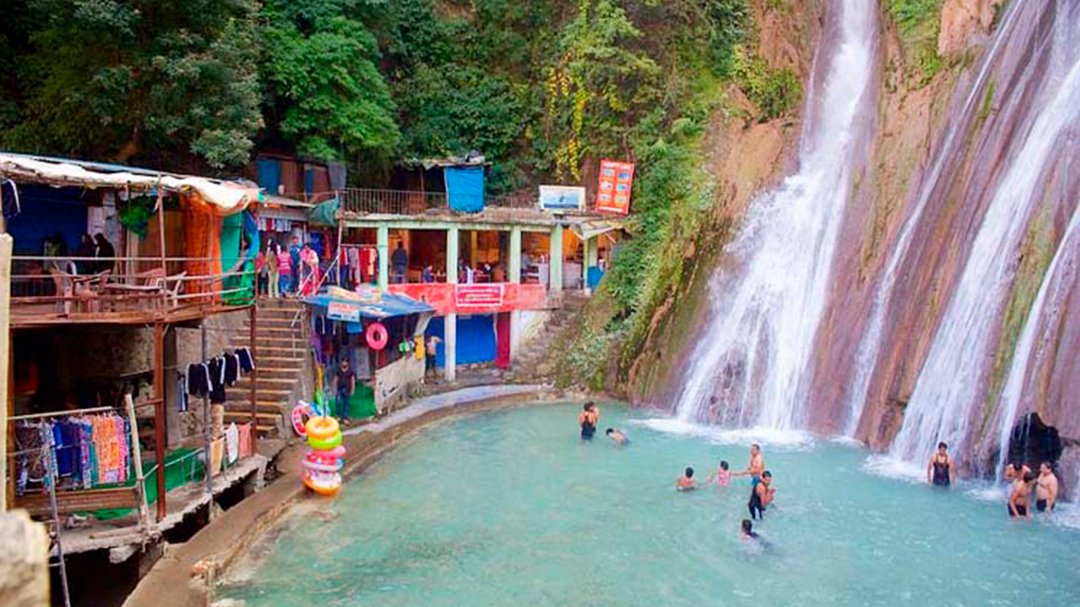
| Kempty Falls | A majestic waterfall located 15 km from the town, a staple for visitors. |
| Lal Tibba | The highest point in Mussoorie, offering panoramic views of the Nilkanth and Kedarnath peaks. |
| Cloud’s End | The geographical end of Mussoorie, surrounded by thick forests and tranquility. |